Category:Maps of districts of Veraguas Province
Jump to navigation
Jump to search
Media in category "Maps of districts of Veraguas Province"
The following 13 files are in this category, out of 13 total.
-
 Mariato.png 1,569 × 736; 201 KB
-
 Panamá - Veraguas - Atalaya.svg 770 × 884; 375 KB
-
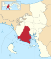
 Panamá - Veraguas - Calobre.svg 770 × 884; 375 KB
-
 Panamá - Veraguas - Cañazas.svg 770 × 884; 375 KB
-
 Panamá - Veraguas - La Mesa.svg 770 × 884; 375 KB
-
 Panamá - Veraguas - Las Palmas.svg 770 × 884; 375 KB
-
 Panamá - Veraguas - Mariato.svg 770 × 884; 375 KB
-
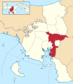
 Panamá - Veraguas - Montijo.svg 770 × 884; 375 KB
-
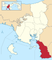
 Panamá - Veraguas - Río de Jesús.svg 770 × 884; 375 KB
-
 Panamá - Veraguas - San Francisco.svg 770 × 884; 375 KB
-
 Panamá - Veraguas - Santa Fe.svg 770 × 884; 375 KB
-
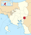
 Panamá - Veraguas - Santiago.svg 770 × 884; 375 KB
-
 Panamá - Veraguas - Soná.svg 770 × 884; 375 KB


