Category:Maps of census divisions of Canada
Jump to navigation
Jump to search
Subcategories
This category has the following 2 subcategories, out of 2 total.
L
Media in category "Maps of census divisions of Canada"
The following 5 files are in this category, out of 5 total.
-
Alberta Census divisions.svg 352 × 618; 119 KB
-
Canada-census layout.png 852 × 698; 159 KB
-
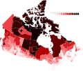
Indigenous population by census division.svg 1,200 × 1,032; 1.11 MB
-
Nlcd.PNG 622 × 493; 57 KB
-
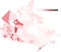
Visible minority identity by census division.svg 1,200 × 1,032; 1.11 MB


