Category:Maps of cantons of San José Province
Jump to navigation
Jump to search
Subcategories
This category has the following 2 subcategories, out of 2 total.
L
S
Media in category "Maps of cantons of San José Province"
The following 26 files are in this category, out of 26 total.
-
 Canton de Dota, Costa Rica.png 1,398 × 1,554; 2.28 MB
-
 Canton de Moravia.jpg 1,334 × 1,574; 204 KB
-
 Cantones de San José.jpg 2,000 × 1,894; 511 KB
-
 Cantones-SJ.svg 480 × 454; 173 KB
-
 CantonSanta Ana.jpg 477 × 338; 72 KB
-
 CantonTibas.jpg 477 × 338; 71 KB
-
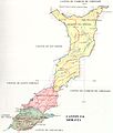
 Cantón de Vásquez de Coronado.jpg 1,276 × 1,610; 253 KB
-
 Desamparados Mapa.png 800 × 746; 64 KB
-
 Distritos de Desamparados.png 1,375 × 1,034; 601 KB
-
 Distritos Desamparados.jpg 1,552 × 1,704; 151 KB
-
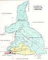
 División administrativa Acosta.png 827 × 897; 54 KB
-
 División administrativa Alajuelita.png 623 × 816; 40 KB
-
 División administrativa Aserrí.png 926 × 1,381; 92 KB
-
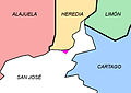
 División administrativa Coronado.png 724 × 966; 57 KB
-
 División administrativa Desamparados.png 1,552 × 1,704; 206 KB
-
 División administrativa Escazú.png 717 × 1,024; 47 KB
-
 División administrativa Goicoechea.png 1,382 × 366; 95 KB
-
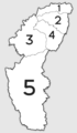
 División administrativa León Cortés Castro.png 1,300 × 865; 80 KB
-
 División administrativa Montes de Oca.png 1,361 × 473; 32 KB
-
 División administrativa Mora.png 1,388 × 717; 96 KB
-
 División administrativa Moravia.png 830 × 956; 53 KB
-
 División administrativa Pérez Zeledón.png 984 × 918; 74 KB
-
 División administrativa Santa Ana.png 873 × 994; 54 KB
-
 División administrativa Tibás.png 1,262 × 842; 72 KB
-
 División administrativa Turrubares.png 550 × 944; 49 KB
-
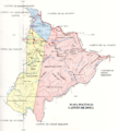
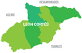 Mapa León Cortés.png 2,184 × 1,427; 151 KB


