Category:Maps of ancient Israel by Philippe de La Rué
Jump to navigation
Jump to search
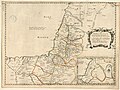
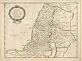
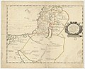
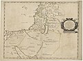
English: Besides maps of modern Israel and Egypt, Philippe de La Rué also created maps of various points in the history of the Holy Land (Exodus from Egypt; Tribes in Israel; United Monarchy; Two Kingdoms; Hasmonean Kingdom; Patriarchate of Jerusalem in 500 AD).
Media in category "Maps of ancient Israel by Philippe de La Rué"
The following 17 files are in this category, out of 17 total.
-

-
-

-

-
 La Terre Sainte tirée des mémoires de M. de la Rue - par N. de Fer... - btv1b8490369k.jpg 5,033 × 3,816; 3.53 MB
-

-
 Philippe de La Rué, Descriptio acurata Terrae Promissae per sortes XII (FL199513490 2368715).jpg 11,376 × 8,344; 86.81 MB
-
 Terre Sainte moderne (with) Descriptio acurata Terrae Promissae.jpg 8,854 × 6,463; 16.96 MB
-

-

-
-

-

-
-

-
-


.jpg)


.jpg)
_Descriptio_acurata_Terrae_Promissae.jpg)
.jpg)


.jpg)


