Category:Maps of Voulangis
Jump to navigation
Jump to search
Wikimedia category | |||||
| Upload media | |||||
| Instance of | |||||
|---|---|---|---|---|---|
| Category combines topics | |||||
| Voulangis | |||||
commune in Seine-et-Marne, France  .svg)  | |||||
| Instance of | |||||
| Location |
| ||||
| Head of government |
| ||||
| Population |
| ||||
| Area |
| ||||
| official website | |||||
 | |||||
Media in category "Maps of Voulangis"
The following 14 files are in this category, out of 14 total.
-
 77529-Voulangis - Localisation.png 2,500 × 2,480; 1.42 MB
-
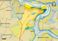
 77529-Voulangis - Relief-PlanIgn.png 7,015 × 4,960; 12.35 MB
-
 77529-Voulangis-Cadastre.png 7,015 × 4,960; 8.58 MB
-
 77529-Voulangis-Géologie.png 7,015 × 4,960; 5.35 MB
-
 77529-Voulangis-Hydro.png 7,015 × 4,960; 5.53 MB
-
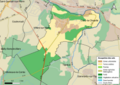
 77529-Voulangis-Natura 2000.png 7,015 × 4,960; 3.83 MB
-
 77529-Voulangis-Orthophoto.png 7,015 × 4,960; 7.83 MB
-
 77529-Voulangis-Sols.png 7,015 × 4,960; 4.45 MB
-
 77529-Voulangis-ZNIEFF1.png 7,015 × 4,960; 3.83 MB
-
 77529-Voulangis-ZNIEFF2.png 7,015 × 4,960; 4 MB
-
 Map commune FR insee code 77529.png 756 × 605; 54 KB
-
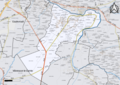
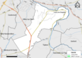
 Voulangis OSM 01.png 502 × 480; 218 KB
-
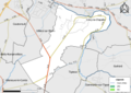
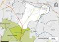
 Voulangis OSM 02.png 420 × 419; 242 KB
-
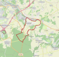
 Voulangis OSM 03.png 420 × 419; 131 KB


