Category:Maps of The Solent
Jump to navigation
Jump to search
Media in category "Maps of The Solent"
The following 22 files are in this category, out of 22 total.
-

-

-

-
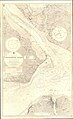
 A correct chart of the sea coast from Arundel in Sussex to St Albans in Dorset RMG F0427.tiff 6,560 × 5,459; 102.46 MB
-
 Admiralty Chart No 1905 Southampton Water, Published 1928.jpg 11,296 × 18,428; 83.86 MB
-
 Admiralty Chart No 2040 The Solent Western Part, Published 1969.jpg 16,382 × 11,248; 51 MB
-
 Admiralty Chart No 2050 Eastern approaches to the Solent, Published 1967.jpg 10,306 × 11,918; 32.08 MB
-
 Admiralty Chart No 2219 Western Approaches to the Solent, Published 1935.jpg 16,397 × 11,263; 50.61 MB
-
 Admiralty Chart No 2219 Western Approaches to the Solent, Published 1969.jpg 16,368 × 11,241; 35.18 MB
-
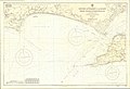
 Admiralty Chart No 394 The Solent Eastern Part, Published 1935.jpg 13,846 × 8,439; 12.95 MB
-

-

-
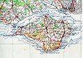 IsleofWightmap 1945.jpg 2,264 × 1,576; 996 KB
-
 Solent map (OS).jpg 1,118 × 692; 455 KB
-
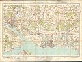 Ordnance Survey One-Inch Sheet 132 Portsmouth & Southampton, Published 1919.jpg 11,837 × 8,972; 10.78 MB
-
 Ordnance Survey One-Inch Sheet 141 Southampton Portsmouth and Isle of Wight, Published 1936.jpg 16,475 × 12,403; 22.84 MB
-
 Ordnance Survey One-Inch Sheet 180 The Solent, Published 1945.jpg 8,163 × 9,570; 10.68 MB
-
 Ordnance Survey One-Inch Sheet 180 The Solent, Published 1966.jpg 8,160 × 9,943; 10.51 MB
-
 Ordnance Survey One-Inch Sheet 180 The Solent, Published 1971.jpg 10,957 × 13,121; 42.48 MB
-
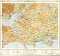 Ordnance Survey Quarter-inch Sheet 16 Southern England, Published 1966.jpg 9,646 × 8,909; 12.19 MB
-
 Situationsplan von Portsmouth-Southampton.jpg 733 × 667; 95 KB
-
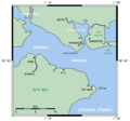 SpitheadCloseup he.png 544 × 510; 17 KB
.jpg)
.jpg)
.jpg)


.jpg)
.jpg)

.jpg)


