Category:Maps of Surrey
Jump to navigation
Jump to search
Wikimedia category | |||||
| Upload media | |||||
| Instance of | |||||
|---|---|---|---|---|---|
| Category combines topics | |||||
| Surrey | |||||
county of England | |||||
| Instance of |
| ||||
| Part of | |||||
| Location |
| ||||
| Legislative body |
| ||||
| Headquarters location |
| ||||
| Population |
| ||||
| Area |
| ||||
| Different from | |||||
| Said to be the same as | Surrey (historic county of England, ceremonial county of England, 1844) | ||||
| official website | |||||
 | |||||
Subcategories
This category has the following 23 subcategories, out of 23 total.
!
B
- Brooklands circuit maps (4 F)
C
E
F
- Maps of Frimley (2 F)
H
- Hundreds of Surrey (21 F)
M
- Maps of Ash, Surrey (1 F)
- Maps of Badshot Lea (1 F)
- Maps of Camberley (2 F)
- Maps of Deepcut (1 F)
- Maps of Dorking (4 F)
- Maps of Farnham, Surrey (2 F)
- Maps of Godalming (4 F)
- Maps of Haslemere (2 F)
- Maps of Leith Hill (1 F)
- Maps of Shalford, Surrey (1 F)
- Maps of Wyke, Surrey (1 F)
O
- OpenStreetMap maps of Surrey (11 F)
R
Media in category "Maps of Surrey"
The following 32 files are in this category, out of 32 total.
-
Surrey UK locator map 2010.svg 1,108 × 1,345; 302 KB
-
Cucknells wood surrey map.jpg 1,799 × 2,250; 1.7 MB
-
England Police Forces (Surrey).svg 1,108 × 1,345; 312 KB
-
EnglandPoliceSurrey.png 2,165 × 2,670; 87 KB
-
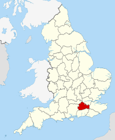
EnglandSurrey.png 200 × 247; 26 KB
-
FarnAldershot.png 989 × 817; 133 KB
-
London TTWA 2001.png 1,648 × 1,171; 121 KB
-
Mole Valley Surrey blank ward map 2023.svg 915 × 1,280; 273 KB
-
North Downs Way Map - geograph.org.uk - 460470.jpg 640 × 480; 135 KB
-
Ordnance Survey 1-250000 - SU.jpg 4,000 × 4,000; 9.11 MB
-
Ordnance Survey 1-250000 - TQ.jpg 4,000 × 4,000; 9.37 MB
-
Ports-direct-1859.png 1,053 × 1,490; 117 KB
-
River Mole Map.png 447 × 544; 67 KB
-
River Mole Map.svg 450 × 515; 269 KB
-
Staines 1971.png 2,166 × 1,570; 107 KB
-
Sunbury 1971.png 2,183 × 1,570; 108 KB
-
Surre.svg 1,129 × 1,385; 107 KB
-
Surrey - British Isles.svg 1,250 × 1,835; 1,024 KB
-
Surrey Brit Isles Sect 5.svg 809 × 743; 939 KB
-
Surrey Map.png 4,967 × 4,967; 4.21 MB
-
Surrey numbered districts.svg 1,425 × 1,081; 724 KB
-
Surrey outline map with UK.png 1,275 × 1,078; 253 KB
-
Surrey UK constituency map (blank).svg 1,425 × 1,081; 955 KB
-
Surrey UK district map (blank).svg 1,425 × 1,081; 948 KB
-
Surrey UK location map.svg 1,425 × 1,081; 1.93 MB
-
Surrey UK parish map (blank).svg 1,425 × 1,081; 1.47 MB
-
Surrey UK PCC election 2024.svg 1,425 × 1,081; 949 KB
-
Surrey UK relief location map.jpg 1,999 × 1,514; 320 KB
-
Surrey UK ward map (blank).svg 1,425 × 1,081; 1.72 MB
-
SurreyBrit5.PNG 625 × 569; 26 KB
-
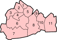
SurreyNumbered.png 200 × 142; 10 KB
-
Woking UK ward map 2024.svg 1,425 × 1,086; 297 KB


