Category:Maps of Scientrier
Jump to navigation
Jump to search
Wikimedia category | |||||
| Upload media | |||||
| Instance of | |||||
|---|---|---|---|---|---|
| Category combines topics | |||||
| Scientrier | |||||
commune in Haute-Savoie, France    | |||||
| Instance of | |||||
| Location |
| ||||
| Population |
| ||||
| Area |
| ||||
| official website | |||||
 | |||||
Subcategories
This category has only the following subcategory.
G
Media in category "Maps of Scientrier"
The following 11 files are in this category, out of 11 total.
-
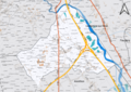
 74262-Scientrier - Localisation.png 3,507 × 2,480; 1.27 MB
-
 74262-Scientrier-Cadastre.png 7,015 × 4,960; 9.29 MB
-
 74262-Scientrier-Hydro.jpeg 5,846 × 4,133; 1.86 MB
-
 74262-Scientrier-Hydro.png 7,015 × 4,960; 5.45 MB
-
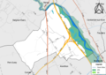 74262-Scientrier-Natura 2000.png 7,015 × 4,960; 4.08 MB
-
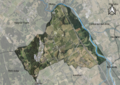 74262-Scientrier-Orthophoto.png 7,015 × 4,960; 7.51 MB
-
 74262-Scientrier-Sols.png 7,015 × 4,960; 6.03 MB
-
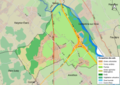
 74262-Scientrier-ZNIEFF1.png 7,015 × 4,960; 4.24 MB
-
 74262-Scientrier-ZNIEFF2.png 7,015 × 4,960; 4.23 MB
-
 Map commune FR insee code 74262.png 756 × 605; 60 KB
-
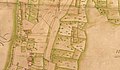 Mappe Scientrier.jpg 863 × 504; 158 KB


