Category:Maps of Saint-Ouen-sur-Morin
Jump to navigation
Jump to search
Wikimedia category | |||||
| Upload media | |||||
| Instance of | |||||
|---|---|---|---|---|---|
| Category combines topics | |||||
| Saint-Ouen-sur-Morin | |||||
commune in Seine-et-Marne, France  .svg)  | |||||
| Instance of | |||||
| Named after | |||||
| Location |
| ||||
| Head of government |
| ||||
| Population |
| ||||
| Area |
| ||||
| official website | |||||
 | |||||
Media in category "Maps of Saint-Ouen-sur-Morin"
The following 12 files are in this category, out of 12 total.
-
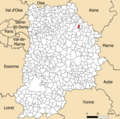 77429-Saint-Ouen-sur-Morin - Localisation.png 2,500 × 2,480; 1.42 MB
-
 77429-Saint-Ouen-sur-Morin - Relief-PlanIgn.png 7,015 × 4,960; 10.04 MB
-
 77429-Saint-Ouen-sur-Morin-Cadastre.png 7,015 × 4,960; 7.3 MB
-
 77429-Saint-Ouen-sur-Morin-Géologie.png 7,015 × 4,960; 3.62 MB
-
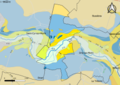
 77429-Saint-Ouen-sur-Morin-Hydro.png 7,015 × 4,960; 3.59 MB
-
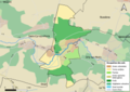
 77429-Saint-Ouen-sur-Morin-Natura 2000.png 7,015 × 4,960; 3.42 MB
-
 77429-Saint-Ouen-sur-Morin-Orthophoto.png 7,015 × 4,960; 5.22 MB
-
 77429-Saint-Ouen-sur-Morin-Sols.png 7,015 × 4,960; 3.07 MB
-
 77429-Saint-Ouen-sur-Morin-ZNIEFF1.png 7,015 × 4,960; 3.1 MB
-
 77429-Saint-Ouen-sur-Morin-ZNIEFF2.png 7,015 × 4,960; 3.34 MB
-
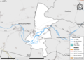
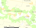
 Chemin de fer a voie étroite des meulières Saint-Ouen-sur-Morin (S.-et-M.), OpenTopoMap.png 1,556 × 1,064; 1.38 MB
-
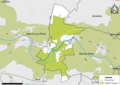
 Map commune FR insee code 77429.png 756 × 605; 27 KB


,_OpenTopoMap.png)