Category:Maps of Sable Island
Jump to navigation
Jump to search
Wikimedia category | |||||
| Upload media | |||||
| Instance of | |||||
|---|---|---|---|---|---|
| Category combines topics | |||||
| Sable Island | |||||
island in Nova Scotia, Canada | |||||
| Instance of | |||||
| Located in protected area |
| ||||
| Location | Halifax, Nova Scotia, Canada | ||||
| Located in or next to body of water | |||||
| Operator | |||||
| Width |
| ||||
| Length |
| ||||
| Population |
| ||||
| Area |
| ||||
| Elevation above sea level |
| ||||
| Different from | |||||
 | |||||
Media in category "Maps of Sable Island"
The following 17 files are in this category, out of 17 total.
-
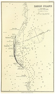
IMRAY(1884) p0187 SABLE ISLAND.jpg 1,591 × 2,677; 1.59 MB
-
Atlantik Suez Panama.jpg 3,979 × 4,543; 6.84 MB
-
FMIB 43919 Sable Island.jpeg 865 × 551; 189 KB
-
Atlantic East Coast - Sable Island (IA McGillLibrary-rbsc map bayfield-090-19247).pdf 4,052 × 2,972; 9.57 MB
-
Sable Island (NYPL b13965988-2057362).tiff 5,460 × 7,320, 2 pages; 114.41 MB
-
Sable Island (NYPL b13965988-2057364).jpg 4,621 × 6,457; 4.57 MB
-
Sable Island (NYPL b13965988-2057364).tiff 5,430 × 7,320, 2 pages; 113.78 MB
-
Sable Island RMG K0656.jpg 1,280 × 945; 694 KB
-
Sable Island RMG K0657.jpg 1,280 × 956; 750 KB
-
Sable Island RMG K0658.jpg 1,280 × 901; 797 KB
-
Sable Island RMG K0659.jpg 1,280 × 977; 773 KB
-
Sable Island RMG K0660.jpg 1,280 × 952; 769 KB
-
Sable Island RMG K0661.jpg 1,280 × 926; 747 KB
-
Sable Island RMG K0662.jpg 1,280 × 924; 736 KB
-
Sable Island RMG K0808.jpg 1,280 × 966; 650 KB


