Category:Maps of Reilingen
Jump to navigation
Jump to search
Media in category "Maps of Reilingen"
The following 5 files are in this category, out of 5 total.
-
 20120529Waldlehrpfad Reilinger Eck2.jpg 1,648 × 1,652; 939 KB
-
 Feld-Manoever Hockenheim 1828.jpg 531 × 436; 55 KB
-
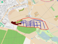 Kisselwiesen Reilingen.png 1,213 × 929; 523 KB
-
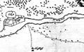 Wersau 1690.jpg 576 × 353; 38 KB
-
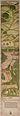 Wildbanngrenze Kurpfalz-Speyer 1548.jpg 1,047 × 6,052; 837 KB


