Category:Maps of Reichsgau Wartheland
Jump to navigation
Jump to search
Media in category "Maps of Reichsgau Wartheland"
The following 10 files are in this category, out of 10 total.
-
Ansiedler Wartheland Herkunft Karte.png 3,000 × 2,524; 1.26 MB
-
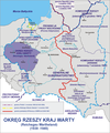
Kraj warty 1944.png 2,092 × 2,505; 1.7 MB
-
Planning Map for Ethnic German Settlement of Warthegau (annexed from Poland).png 1,040 × 1,438; 993 KB
-
Polizeigrenze Stand 01.06.1941.jpg 7,817 × 5,905; 8.59 MB
-
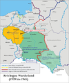
Reichsgau Wartheland (Karte).png 2,092 × 2,505; 2.81 MB
-
Siedlungsplanung Warthegau.jpg 1,432 × 1,494; 304 KB
-
Wartheland Reichsgau 1944 ENG.png 3,000 × 2,524; 959 KB
-
Wartheland Reichsgau 1944 GER.png 3,000 × 2,524; 954 KB
-
Wartheland Reichsgau 1944-fr.svg 3,000 × 2,524; 387 KB
-
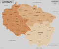
Wartheland.png 1,682 × 1,772; 889 KB


