Category:Maps of Red River of the North
Jump to navigation
Jump to search
Media in category "Maps of Red River of the North"
The following 19 files are in this category, out of 19 total.
-
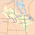
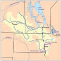
 Redrivernorthmap.png 500 × 499; 137 KB
-
 Bulletin of the U.S. Department of Agriculture (1913-1923.) (20309994550).jpg 3,082 × 1,841; 1.67 MB
-
 Bulletin of the U.S. Department of Agriculture (1913-1923.) (20489299292).jpg 1,614 × 2,806; 896 KB
-
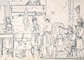 Colonists on the Red River in North America.png 640 × 457; 529 KB
-

-
 Plan Shewing the Proposed Route from Lake Superior to Red River Settlement (1870).jpg 15,000 × 7,756; 13.27 MB
-
 Red River Flooding in North Dakota (4455125023).jpg 720 × 360; 239 KB
-
 Red River Flooding in North Dakota (high res) (4455124807).jpg 1,000 × 1,333; 1.66 MB
-
 Red River of the North in MN.jpg 1,402 × 1,675; 215 KB
-

-

-

-
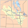
 Riviererougecarte.png 500 × 499; 133 KB
-
 Boisdesiouxrivermap.png 500 × 499; 136 KB
-
 Ottertailrivermap.png 500 × 499; 136 KB
-
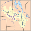
 Pembinarivermap.png 500 × 499; 137 KB
-
 Rivieresouriscarte.png 500 × 499; 137 KB
-
 Sourisrivermap.png 500 × 499; 141 KB
-
 Wildricerivermap.png 500 × 499; 141 KB

_(20309994550).jpg)
_(20489299292).jpg)


.jpg)
.jpg)
_(4455124807).jpg)

_-b.jpg)
_-d.jpg)
_-a.jpg)


