Category:Maps of Ravenstein (Netherlands)
Jump to navigation
Jump to search
Subcategories
This category has only the following subcategory.
Media in category "Maps of Ravenstein (Netherlands)"
The following 11 files are in this category, out of 11 total.
-
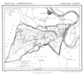 1865 Herpen.png 1,544 × 1,345; 208 KB
-
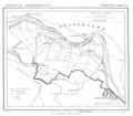
 1865 Huisseling.png 1,520 × 1,346; 179 KB
-
 1868 Ravenstein.gif 1,272 × 1,602; 138 KB
-
 Cliuia ducatus et Rauestein dominium - CBT 5873687.jpg 5,715 × 4,750; 5.81 MB
-
 Dieden, Demen en Langel.png 1,544 × 1,353; 204 KB
-
 Kleef kaart 1663 CLIVIA DVCATVS ET RAVESTEIN DOMINIVM Map of Kleve Cleves.jpg 5,500 × 4,192; 8.9 MB
-
 Lambert-van-den-Bos-Lieuwe-van-Aitzema-Historien-onses-tyds MGG 0406.tif 4,146 × 3,485; 41.38 MB
-
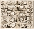
 Lambert-van-den-Bos-Schauplatz-des-Krieges MG 9488.tif 5,232 × 3,222; 48.26 MB
-
 Land van Ravenstein.jpg 480 × 480; 360 KB
-
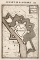 Manesson-Travaux-de-Mars 9674.tif 3,528 × 5,216; 52.68 MB
-


