
Category:Maps of Pohnpei
English: Maps of Pohnpei State
日本語: ポンペイ州の地図
Media in category "Maps of Pohnpei"
The following 13 files are in this category, out of 13 total.
-
 Admiralty Chart No 981 Senyavin Islands, Published 1928, New Edition 1955.jpg 16,284 × 11,125; 20.22 MB
-
 Geology of Kapingamarangi Atoll, Caroline Islands 1.tif 2,272 × 1,788, 5 pages; 643 KB
-
 Geology of Kapingamarangi Atoll, Caroline Islands 2.tif 2,765 × 1,632, 5 pages; 603 KB
-
 Mokil.jpg 829 × 1,139; 158 KB
-
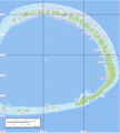 Nukuoro map.png 1,240 × 1,378; 6.53 MB
-
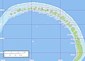 Nukuoro North map.jpg 1,240 × 902; 278 KB
-
 Nukuoro South map.jpg 1,240 × 902; 178 KB
-
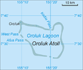 Oroluk.png 705 × 602; 41 KB
-
 Pingelap Atoll - Marplot Map (1-25,000).jpg 1,240 × 904; 200 KB
-
 Pingelap.jpg 825 × 1,137; 307 KB
-
 Pohnpei.png 1,802 × 2,012; 187 KB
-
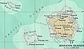 Senyavin island (FSM).jpg 457 × 265; 102 KB
-
 Senyavin Islands.jpg 493 × 318; 102 KB


.jpg)


.jpg)
