Category:Maps of Nineveh Province
Jump to navigation
Jump to search
Subcategories
This category has the following 2 subcategories, out of 2 total.
M
- Maps of Nineveh (20 F)
Media in category "Maps of Nineveh Province"
The following 18 files are in this category, out of 18 total.
-
 Dohuk Province Map Districts and Subsdistricts.svg 836 × 502; 83 KB
-
 Irak locator14.svg 465 × 540; 349 KB
-
 Iraq Ninawa Governorate.svg 1,241 × 1,264; 320 KB
-
 IraqNinawa.png 200 × 201; 17 KB
-
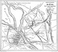 Le Tour du monde-07-p323.jpg 1,051 × 937; 379 KB
-
 Ni-nawa-ken.svg 379 × 381; 225 KB
-
 Ninawa in Iraq.svg 1,241 × 1,264; 486 KB
-
 Ninawa map.svg 1,241 × 1,264; 304 KB
-
 Nineveh Plains ar.png 1,200 × 984; 100 KB
-
 Nineveh Plains ar.svg 1,200 × 984; 223 KB
-
 Nineveh Plains Iraq with text.svg 1,199 × 1,249; 200 KB
-
 Nineveh Plains Iraq.svg 1,199 × 1,249; 198 KB
-
 Nineveh Plains.svg 1,200 × 984; 65 KB
-
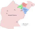
 Ninevehdistricts.jpg 776 × 573; 199 KB
-
 Ninevehplains.jpg 776 × 573; 185 KB
-
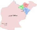
 Ninewa-ar.png 814 × 575; 186 KB
-
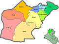
 Ninewa.JPG 814 × 575; 38 KB
-
 لیوای مووسڵ لە ساڵانی(١٨٥٠ - ١٨٦٥)زدا.png 2,000 × 2,199; 480 KB


%D8%B2%D8%AF%D8%A7.png)