Category:Maps of Molėtai District Municipality
Jump to navigation
Jump to search
Subcategories
This category has the following 2 subcategories, out of 2 total.
M
- Molėtai in maps (4 F)
Media in category "Maps of Molėtai District Municipality"
The following 6 files are in this category, out of 6 total.
-
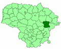 Moletai district location.png 623 × 503; 20 KB
-
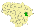
 Moletai district location.svg 1,095 × 821; 117 KB
-
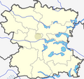
 Moletai dst.svg 1,000 × 800; 717 KB
-
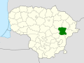
 Moletai in Lithuania.svg 1,095 × 821; 524 KB
-
 Moletu rajono zemelapis.png 892 × 838; 177 KB
-
 Molėtų rajono savivaldybė.svg 823 × 782; 135 KB


