Category:Maps of Lower Silesia Province
Jump to navigation
Jump to search
Media in category "Maps of Lower Silesia Province"
The following 9 files are in this category, out of 9 total.
-
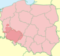 Dolny Śląsk TT mapa.png 808 × 755; 132 KB
-
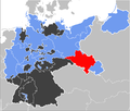
 Location Nazi Germany - Lower Silesia.png 806 × 766; 53 KB
-
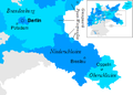
 Map-Prussia-LowerSilesia.png 1,750 × 1,486; 140 KB
-
 Map-Prussia-LowerSilesia.svg 1,185 × 1,007; 591 KB
-
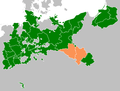
 Mapa Dolnego Śląska.png 982 × 918; 319 KB
-
 Neder-Silezie1925.png 444 × 318; 28 KB
-
 Provinz Niederschlesien.png 1,307 × 987; 44 KB
-
 RBNSlez1922.png 476 × 333; 10 KB
-
 Weimar Republic - Prussia - Lower Silesia (1925).svg 976 × 818; 697 KB


.svg)