Category:Maps of Loiret (Interco)
Jump to navigation
Jump to search
Subcategories
This category has the following 3 subcategories, out of 3 total.
M
- Maps of Montargis (Interco) (14 F)
- Maps of Pithiviers (Interco) (32 F)
Media in category "Maps of Loiret (Interco)"
The following 2 files are in this category, out of 2 total.
-
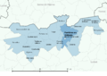 Ferrières-en-Gatinais-Interco.png 3,507 × 2,480; 1.04 MB
-
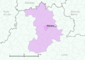 Pithiviers-Interco.png 3,507 × 2,480; 1.46 MB

