Category:Maps of Jonglei state
Jump to navigation
Jump to search
Media in category "Maps of Jonglei state"
The following 16 files are in this category, out of 16 total.
-
 Jonglei Administrative Map-sr.svg 1,058 × 693; 259 KB
-
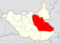 Jonglei Map.svg 1,561 × 1,133; 215 KB
-
 Jonglei in South Sudan (+Kafia Kingi).svg 1,561 × 1,133; 422 KB
-
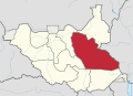
 Jonglei in South Sudan.svg 1,561 × 1,133; 422 KB
-
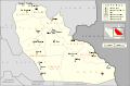
 Dschunqali Sudan map with districts2.svg 744 × 1,052; 155 KB
-
 Dschunqali.PNG 446 × 350; 41 KB
-
 Greater Pibor Administrative Area.svg 1,549 × 1,118; 207 KB
-
 SSudan-Jonglei.png 860 × 637; 19 KB
-

-
 Jonglei in South Sudan 2015.svg 1,561 × 1,133; 244 KB
-
 Jonglei State Counties.svg 287 × 316; 60 KB
-
 Karte Südsudan Jonglei.png 1,500 × 1,133; 193 KB
-
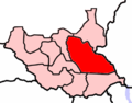
 Bor locator map.svg 1,561 × 1,133; 521 KB
-
 Dschunqali Sudan map with districts.svg 744 × 1,052; 155 KB
-
 Sudan district map Bor.svg 744 × 1,052; 155 KB
-
 Locator map Sudan Jonglei.png 480 × 568; 125 KB


.svg)


