Category:Maps of Grisy-sur-Seine
Jump to navigation
Jump to search
Wikimedia category | |||||
| Upload media | |||||
| Instance of | |||||
|---|---|---|---|---|---|
| Category combines topics | |||||
| Grisy-sur-Seine | |||||
commune in Seine-et-Marne, France   | |||||
| Instance of | |||||
| Named after | |||||
| Location |
| ||||
| Located in or next to body of water | |||||
| Head of government |
| ||||
| Population |
| ||||
| Area |
| ||||
 | |||||
Media in category "Maps of Grisy-sur-Seine"
The following 12 files are in this category, out of 12 total.
-
 77218-Grisy-sur-Seine - Localisation.png 2,500 × 2,480; 1.42 MB
-
 77218-Grisy-sur-Seine - Relief-PlanIgn.png 7,015 × 4,960; 5.82 MB
-
 77218-Grisy-sur-Seine-Cadastre.png 7,015 × 4,960; 5.04 MB
-
 77218-Grisy-sur-Seine-Géologie.png 7,015 × 4,960; 3.37 MB
-
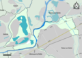
 77218-Grisy-sur-Seine-Hydro.png 7,015 × 4,960; 3.28 MB
-
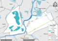
 77218-Grisy-sur-Seine-Natura 2000.png 7,015 × 4,960; 2.8 MB
-
 77218-Grisy-sur-Seine-Orthophoto.png 7,015 × 4,960; 4.49 MB
-
 77218-Grisy-sur-Seine-Sols.png 7,015 × 4,960; 3.1 MB
-
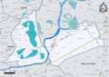
 77218-Grisy-sur-Seine-ZNIEFF1.png 7,015 × 4,960; 3.21 MB
-
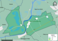
 77218-Grisy-sur-Seine-ZNIEFF2.png 7,015 × 4,960; 2.81 MB
-
 Map commune FR insee code 77218.png 756 × 605; 34 KB
-
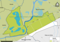
 Périmètre RNN La Bassée rnn155.png 1,236 × 825; 453 KB


