Category:Maps of Fouta Jallon
Jump to navigation
Jump to search
Media in category "Maps of Fouta Jallon"
The following 3 files are in this category, out of 3 total.
-
 Africa de l'Oèst en 1875-es.svg 1,588 × 771; 750 KB
-
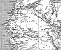 FoutaMap.jpg 1,126 × 933; 228 KB
-
 Map of Futa Jallon.png 2,000 × 1,876; 1.22 MB


