Category:Maps of Fairfield County, Connecticut (style A)
Jump to navigation
Jump to search
Media in category "Maps of Fairfield County, Connecticut (style A)"
The following 16 files are in this category, out of 16 total.
-
 Bridgeport CT lg.PNG 1,824 × 1,374; 109 KB
-
 Brookfield CT lg.PNG 1,824 × 1,374; 109 KB
-
 Danbury CT lg.PNG 1,824 × 1,374; 109 KB
-
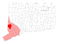
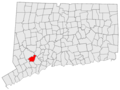
 Map of Fairfield County, Connecticut Bridgeport Highlighted.PNG 323 × 429; 9 KB
-
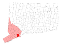
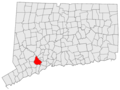
 Map of Fairfield County, Connecticut Darien Highlighted.png 323 × 429; 9 KB
-
 New Fairfield CT lg.PNG 1,824 × 1,374; 109 KB
-
 Norwalk CT lg.PNG 1,824 × 1,374; 109 KB
-
 Shelton CT lg.PNG 1,824 × 1,374; 110 KB
-
 US-CT-Danbury.png 450 × 336; 54 KB
-
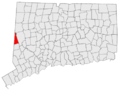
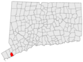 US-CT-Darien.png 450 × 336; 54 KB
-
 US-CT-Fairfield.png 450 × 336; 54 KB
-
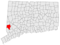
 US-CT-Greenwich.png 450 × 336; 54 KB
-
 US-CT-Monroe.png 450 × 336; 54 KB
-
 US-CT-Shelton.png 450 × 336; 54 KB
-
 US-CT-Sherman.png 450 × 336; 54 KB
-
 Weston CT lg.PNG 1,824 × 1,374; 109 KB


