Category:Maps of Europe in 1789
Jump to navigation
Jump to search
Media in category "Maps of Europe in 1789"
The following 19 files are in this category, out of 19 total.
-
 Atlantic Revolutions.png 2,000 × 2,027; 472 KB
-
 Austrian Lombardy 1789.svg 450 × 456; 800 KB
-
 Duchy of Parma and Piacenza 1789.svg 450 × 456; 929 KB
-
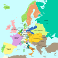 Europa 1789-es.svg 1,357 × 1,357; 1,003 KB
-
 Europa 1789.svg 1,357 × 1,357; 674 KB
-
 Europe 1789 ukr.png 1,744 × 1,394; 386 KB
-
 Europe 1789.svg 450 × 456; 929 KB
-
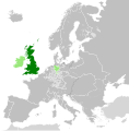 Great Britain 1789.svg 450 × 456; 848 KB
-
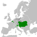 Habsburg Monarchy 1789.svg 450 × 456; 857 KB
-
 Kingdom of France (1789).svg 450 × 456; 911 KB
-
 Kingdom of Ireland 1789.svg 450 × 456; 834 KB
-
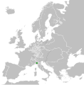
 Kingdom of Sardinia 1789.svg 450 × 456; 799 KB
-
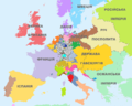
 Map Europe in 1789- Touring Club Italiano CART-TRC-51 02.jpg 3,836 × 3,065; 1.53 MB
-
 Papal States 1789.svg 450 × 456; 799 KB
-
 Polish-Lithuanian Commonwealth 1789.svg 450 × 456; 800 KB
-
 Republic of Genoa 1789.svg 450 × 456; 799 KB
-
 Republic of Venice 1789.svg 450 × 456; 927 KB
-
 Sweden 1789.svg 450 × 456; 799 KB
-
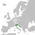
 Venice, France and Austria in 1789.svg 400 × 300; 868 KB


.svg)


