Category:Maps of Da Nang
Jump to navigation
Jump to search
- Maps of the city of Da Nang — in the Nam Trung Bộ (South Central Coast) Region of Vietnam.
Wikimedia category | |||||
| Upload media | |||||
| Instance of | |||||
|---|---|---|---|---|---|
| Category combines topics | |||||
| Da Nang | |||||
municipality of Vietnam | |||||
| Instance of | |||||
| Part of |
| ||||
| Location | Vietnam | ||||
| Located in or next to body of water |
| ||||
| Significant event |
| ||||
| Population |
| ||||
| Area |
| ||||
| Elevation above sea level |
| ||||
| official website | |||||
 | |||||
Subcategories
This category has the following 2 subcategories, out of 2 total.
Media in category "Maps of Da Nang"
The following 28 files are in this category, out of 28 total.
-
Administration map of Cam Le District, Danang City.jpg 2,481 × 3,509; 3.53 MB
-
Administration map of Hai Chau District, Danang City.jpg 2,481 × 3,509; 3.42 MB
-
Administration map of Hoa Vang District, Danang City.jpg 2,481 × 3,509; 5.53 MB
-
Administration map of Lien Chieu District, Danang City.jpg 2,481 × 3,509; 3.72 MB
-
Administration map of Ngu Hanh Son District, Danang City.jpg 2,481 × 3,509; 3.14 MB
-
Administration map of Son Tra District, Danang City.jpg 2,481 × 3,509; 2.69 MB
-
Administration map of Thanh Khe District, Danang City (new).jpg 2,481 × 3,509; 3.06 MB
-
Administration map of Thanh Khe District, Danang City.jpg 2,481 × 3,509; 3.1 MB
-
CamNeMap.png 552 × 780; 338 KB
-
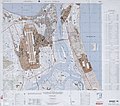
Da Nang, NE49-13.jpg 4,362 × 3,353; 7.42 MB
-
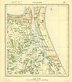
DaNang1908.jpg 6,301 × 7,112; 7.5 MB
-
Detailed Planning 1128,4ha.jpg 7,099 × 4,665; 4.21 MB
-
France & Colonies-1894-baie de Tourane.jpg 2,960 × 3,816; 3.28 MB
-
Hill55Map.png 571 × 804; 393 KB
-
Iconographie Historique de l'Indochine Française 17.jpg 3,665 × 2,802; 3.91 MB
-
Land use planning (eng).jpg 6,955 × 4,685; 13.31 MB
-
Le Tour du monde-01-p061.jpg 826 × 1,234; 262 KB
-
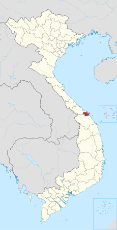
Location of Da Nang within Vietnam.png 200 × 333; 26 KB
-
Map from "Quảng Thuận đạo sử tập" 01.jpg 400 × 644; 57 KB
-
Map of Cẩm Lệ.png 250 × 200; 17 KB
-
Map of Da Nang Area, Spring 1965.jpg 1,847 × 2,524; 621 KB
-
Marble Mountain Airfield map.jpg 1,014 × 1,277; 899 KB
-
Ngu hanh son map.jpg 2,048 × 1,536; 682 KB
-
Quy hoạch chi tiết KCNC Đà Nẵng.jpg 1,236 × 890; 898 KB
-
Route Turan to Hue 1.jpg 1,617 × 1,090; 982 KB
-
Satellite pictures of Da Nang 2021-07-01-00 00 2021-07-01-23 59 Sentinel-2 L2A.jpg 9,930 × 4,126; 8.94 MB
-
The detailed planning of DHTP.jpg 3,744 × 2,665; 2.36 MB
-
US Army Map Da Nang 1969.jpg 6,996 × 6,207; 12.46 MB


