Category:Maps of Chécy
Jump to navigation
Jump to search
Wikimedia category | |||||
| Upload media | |||||
| Instance of | |||||
|---|---|---|---|---|---|
| Category combines topics | |||||
| Chécy | |||||
French commune in Loiret, Centre-Val de Loire  .svg)  | |||||
| Instance of | |||||
| Location |
| ||||
| Located in or next to body of water | |||||
| Population |
| ||||
| Area |
| ||||
| official website | |||||
 | |||||
Subcategories
This category has the following 3 subcategories, out of 3 total.
Media in category "Maps of Chécy"
The following 11 files are in this category, out of 11 total.
-
 45 Znieff 85.jpg 5,457 × 3,543; 1.4 MB
-
 45-Checy-Routes.png 5,457 × 3,543; 3.72 MB
-
 45089-Chécy-argile.png 3,057 × 2,480; 3.73 MB
-
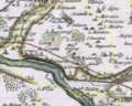 45089-Chécy-Cassini.PNG 1,040 × 834; 2.07 MB
-
 45089-Chécy-Hydro.jpeg 5,846 × 4,133; 2.59 MB
-
 45089-Chécy-Orthophoto.jpeg 10,559 × 7,440; 13.1 MB
-
 45089-Chécy-Sols.png 3,519 × 2,480; 3.61 MB
-
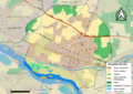
 Chécy-Interco.png 3,507 × 2,480; 1.14 MB
-
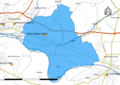
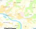 Map commune FR insee code 45089.png 756 × 605; 57 KB
-
 Orléans-Métropole-déchets-Chécy.png 5,457 × 3,589; 1.51 MB
-
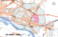
 Secteur-college-Pierre-Mendes-France.png 3,519 × 2,480; 1.9 MB


