Category:Maps of Carpathian Ruthenia
Jump to navigation
Jump to search
Subcategories
This category has the following 3 subcategories, out of 3 total.
Media in category "Maps of Carpathian Ruthenia"
The following 7 files are in this category, out of 7 total.
-
Carpathian Rus' (1920-1938).svg 269 × 206; 2.24 MB
-
Karpaadi-Ukraina.png 1,153 × 752; 327 KB
-
Litva, pachatak XV st..png 574 × 475; 79 KB
-
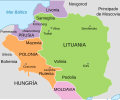
Map of Lithuania and Poland c. 1400 es.svg 512 × 424; 257 KB
-
Map of Lithuania and Poland c. 1400.jpg 574 × 475; 38 KB
-
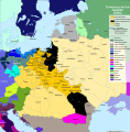
PJagiellon countries 1490-es.svg 1,683 × 1,714; 1.43 MB
-
Газета Далекий Схід.jpg 600 × 654; 249 KB


