Category:Maps of Blasimon (Gironde)
Jump to navigation
Jump to search
Media in category "Maps of Blasimon (Gironde)"
The following 7 files are in this category, out of 7 total.
-
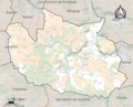 33057-Blasimon-relief.png 3,057 × 2,480; 3.87 MB
-
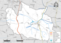 33057-Blasimon-Routes-Hydro.png 3,507 × 2,480; 2.14 MB
-
 33057-Blasimon-Sols.png 3,270 × 2,598; 2.25 MB
-
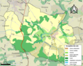
 33057-Blasimon-ZNIEFF2.png 5,866 × 4,133; 8.21 MB
-
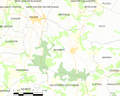
 Blasimon (Gironde) dans son Arrondissement.png 2,000 × 2,467; 647 KB
-
 Blasimon Limite communale.jpg 955 × 579; 156 KB
-
 Map commune FR insee code 33057.png 756 × 605; 60 KB


_dans_son_Arrondissement.png)

