Category:Maps of Battersea
Jump to navigation
Jump to search
Media in category "Maps of Battersea"
The following 13 files are in this category, out of 13 total.
-
 Rocque Battersea.png 1,443 × 1,642; 4.52 MB
-
 1830londonSW - Battersea Pk.jpg 2,625 × 1,157; 907 KB
-
 Battersea Met. B Ward Map 1916.svg 957 × 1,336; 58 KB
-
 Battersea Park 1862.jpg 600 × 518; 116 KB
-
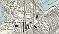 Battersea Park Road and Battersea Park Stations, 1896.jpg 978 × 573; 426 KB
-
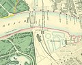
 Battersea station on 1879 OS Map.jpg 689 × 668; 340 KB
-
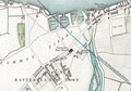
 Battersea station on Stanford's Map of London.jpg 1,319 × 1,040; 1.06 MB
-
 Borough of Wandsworth Community Vulnerability Index 2018.png 566 × 459; 368 KB
-
 Grosvenor canal.jpg 757 × 636; 151 KB
-
 Mouth of the River Heathwall.png 1,251 × 877; 2.24 MB
-
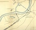
 OS map - Lavender Hill c.1869.png 710 × 862; 751 KB
-
 OSM Clapham Junction area transport layer.jpg 850 × 650; 505 KB
-
 Printed Map Descriptive of London Poverty 1898-1899. Sheet 10. South West District (22128198814).jpg 11,597 × 6,651; 13.09 MB


.jpg)