Category:Maps of Basra Province
Jump to navigation
Jump to search
Media in category "Maps of Basra Province"
The following 10 files are in this category, out of 10 total.
-
Al-Basra map.svg 1,241 × 1,264; 304 KB
-
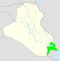
Al-Basrah in Iraq.svg 1,241 × 1,264; 517 KB
-
Basra, Galérie agréable du Monde.jpg 1,700 × 2,172; 3.69 MB
-
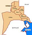
Basra.JPG 521 × 560; 33 KB
-
Basuraken.svg 379 × 381; 225 KB
-
Irak locator6.svg 465 × 540; 349 KB
-
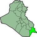
Iraq Basra Governorate.svg 1,241 × 1,264; 320 KB
-
IraqAlBasrah.png 200 × 201; 17 KB
-
Red palm weevil infestation map, Basra, Iraq.jpg 5,974 × 5,310; 4.48 MB
-
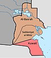
Saddamiyat al-Mitla' District Map (1990-1991).jpg 2,462 × 2,828; 631 KB


