Category:Maps of Axis powers
Jump to navigation
Jump to search
Media in category "Maps of Axis powers"
The following 13 files are in this category, out of 13 total.
-
Axis Powers Operational Plans of Expansion (with codenames).jpg 3,236 × 1,463; 755 KB
-
Axis Powers Operational Plans of Expansion (without codenames).jpg 3,206 × 1,406; 787 KB
-
Axis Powers partition of Eurafrasia (with possible minor partners).jpg 1,689 × 1,172; 537 KB
-
Axis Powers partition of Eurafrasia.jpg 1,689 × 1,172; 510 KB
-
Axis Powers Zenith.png 1,425 × 625; 32 KB
-
L'Illustration 29 juillet 1939.jpg 632 × 909; 310 KB
-
Maximum Axis Powers Control.png 1,425 × 625; 44 KB
-
PanGerman Plan.jpg 4,318 × 3,653; 3.56 MB
-
Planned partition of Asia.png 599 × 329; 13 KB
-
Second world war europe animation small.gif 247 × 257; 101 KB
-
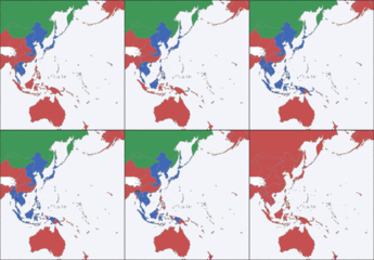
Second world war Pacific War animation small.gif 250 × 260; 63 KB


