Category:Maps of Ancier (Haute-Saône)
Jump to navigation
Jump to search
Media in category "Maps of Ancier (Haute-Saône)"
The following 3 files are in this category, out of 3 total.
-
 70018-Ancier-Sols.png 3,270 × 2,598; 1.11 MB
-
 Gray OSM 02.png 676 × 618; 749 KB
-
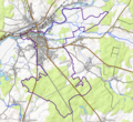
 Map commune FR insee code 70018.png 756 × 605; 30 KB


