Category:Maps by Jean Denis Barbié du Bocage for The Travels of Anacharsis
Jump to navigation
Jump to search
Media in category "Maps by Jean Denis Barbié du Bocage for The Travels of Anacharsis"
The following 16 files are in this category, out of 16 total.
-

-
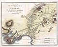
 1784 Bocage Map of Athens, Greece - Geographicus - Athens-bocage-1784.jpg 3,000 × 1,951; 1.45 MB
-

-
-
 1784 Bocage Map of the City of Byzantium.jpg 612 × 709; 130 KB
-
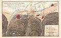 1784 Map of the Battle of Plataea, Greece - Geographicus - BattleofPlataea-bocage-1784.jpg 3,500 × 2,180; 2.52 MB
-

-

-

-
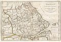
 1786 Bocage Map of Messenia in Ancient Greece - Geographicus - Messemoa-white-1793.jpg 1,200 × 1,053; 310 KB
-
-
 Environs of Athens.jpg 3,880 × 2,829; 8.03 MB
-
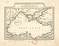 Jean-Denis Barbié du Bocage. Carte du Palus Méotide et du Pont Euxin. 1781.jpg 3,576 × 2,776; 1.72 MB
-
 Map - Special Collections University of Amsterdam - OTM- HB-KZL 34.27.04.tif 9,688 × 6,480; 179.61 MB
-
 Map of Argolis.jpg 5,294 × 3,756; 14.26 MB
-
 Plan of Athens.jpg 3,904 × 2,818; 7.23 MB


_-_Geographicus_-_Elis-white-1793.jpg)

_-_Geographicus_-_Thessaly-white-1793.jpg)


