Category:Maps about the history of Loiret
Jump to navigation
Jump to search
Media in category "Maps about the history of Loiret"
The following 2 files are in this category, out of 2 total.
-
 Plan de la ville et siège d'Orléans en 1428.jpg 6,350 × 2,819; 4.36 MB
-
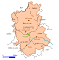 Verdes - Carnutes.svg 596 × 600; 31 KB

