Category:Map symbols of the United States
Jump to navigation
Jump to search
Countries of the Americas: United States of America

|
All simple symbol images in this category could be re-created using vector graphics as SVG files. This has several advantages; see Commons:Media for cleanup for more information. If an SVG form of this image is available, please upload it and afterwards replace this template with
{{vector version available|new image name}}. |


Subcategories
This category has the following 2 subcategories, out of 2 total.
U
Media in category "Map symbols of the United States"
The following 20 files are in this category, out of 20 total.
-
 389th MI BN NATO Map Symbol.svg 198 × 120; 945 bytes
-
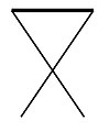
 Campsite X.jpg 318 × 343; 14 KB
-
 Church X.jpg 720 × 758; 33 KB
-
 Conventional signs adopted by the United States geographic board - btv1b531583574.jpg 9,084 × 6,114; 6.76 MB
-
 Euro X.jpg 498 × 592; 24 KB
-
 Fork knife X.jpg 525 × 746; 27 KB
-
 Garden X.jpg 434 × 359; 23 KB
-
 Golf flag.jpg 328 × 503; 15 KB
-
 Heliport.jpg 698 × 665; 37 KB
-
 Hospital X.jpg 715 × 699; 33 KB
-
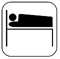 Hotel bed.jpg 678 × 666; 33 KB
-
 Info centre.jpg 696 × 683; 28 KB
-
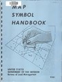 Map symbol handbook (IA mapsymbolhandboo00unit).pdf 600 × 793, 256 pages; 8.58 MB
-
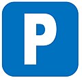 Parking space.jpg 627 × 617; 24 KB
-
 Picnic site.jpg 325 × 393; 16 KB
-
 Post office X.jpg 619 × 596; 29 KB
-
 Veterinary X.jpg 474 × 580; 31 KB
-
 View point X.jpg 507 × 305; 24 KB
-
 Windmill X.jpg 337 × 467; 17 KB
-
 Youth hostel.jpg 456 × 393; 15 KB


