Category:Mancos Shale maps
Jump to navigation
Jump to search
Media in category "Mancos Shale maps"
The following 11 files are in this category, out of 11 total.
-
 Gregory 1916 USGS Water Supply Paper 380 plate-2.jpg 12,200 × 9,600; 11.89 MB
-
 Mancos Mowry shale oil gas fields.png 885 × 545; 205 KB
-
 NPS canyonlands-geologic-map.jpg 3,724 × 5,392; 6.02 MB
-
 NPS canyonlands-national-park-geologic-map.jpg 4,064 × 4,736; 5.19 MB
-
 NPS capitol-reef-geologic-map.jpg 4,222 × 5,695; 5.81 MB
-
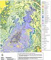
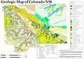 NPS colorado-national-monument-geologic-map.jpg 3,839 × 2,710; 1.9 MB
-
 NPS dinosaur-geologic-map.jpg 6,373 × 4,188; 6.03 MB
-
 NPS glen-canyon-geologic-map-central.jpg 3,143 × 1,859; 2.39 MB
-
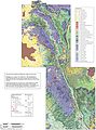
 NPS mesa-verde-geologic-map.jpg 4,264 × 2,696; 1.67 MB
-
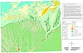
 NPS wupatki-geologic-map-overview.jpg 4,546 × 2,512; 2.01 MB
-
 Southwestern US Sedimentary Basins.tif 5,067 × 4,133; 80.44 MB


