Category:Locator maps of settlements in Vrapčište Municipality
Jump to navigation
Jump to search
Media in category "Locator maps of settlements in Vrapčište Municipality"
The following 15 files are in this category, out of 15 total.
-
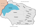
 Ѓурѓевиште во Општина Врапчиште.svg 1,336 × 1,045; 729 KB
-
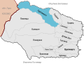
 Врановци во Општина Врапчиште.svg 1,336 × 1,045; 726 KB
-
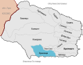
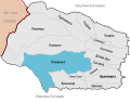
 Врапчиште во Општина Врапчиште.svg 1,336 × 1,045; 726 KB
-
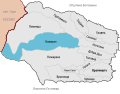
 Галате во Општина Врапчиште.svg 1,336 × 1,045; 727 KB
-
 Горјане во Општина Врапчиште.svg 1,336 × 1,045; 724 KB
-
 Градец во Општина Врапчиште.svg 1,336 × 1,045; 726 KB
-
 Добри Дол во Општина Врапчиште.svg 1,336 × 1,045; 727 KB
-
 Зубовце во Општина Врапчиште.svg 1,336 × 1,045; 729 KB
-
 Калиште во Општина Врапчиште.svg 1,336 × 1,045; 730 KB
-
 Ломница во Општина Врапчиште.svg 1,336 × 1,045; 728 KB
-
 Неготино во Општина Врапчиште.svg 1,336 × 1,045; 729 KB
-
 Ново Село во Општина Врапчиште.svg 1,336 × 1,045; 728 KB
-
 Пожаране во Општина Врапчиште.svg 1,336 × 1,045; 728 KB
-
 Сенокос во Општина Врапчиште.svg 1,336 × 1,045; 727 KB
-
 Топлица во Општина Врапчиште.svg 1,336 × 1,045; 725 KB


