Category:Locator maps of populated places in Salem County, New Jersey
Jump to navigation
Jump to search
Media in category "Locator maps of populated places in Salem County, New Jersey"
The following 12 files are in this category, out of 12 total.
-
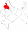 Map of Salem County highlighting Carneys Point Township.png 549 × 589; 11 KB
-
 Map of Salem County highlighting Elsinboro Township.png 549 × 589; 11 KB
-
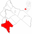 Map of Salem County highlighting Lower Alloways Creek Township.png 549 × 589; 11 KB
-
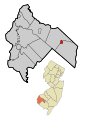
 Map of Salem County highlighting Mannington Township.png 549 × 589; 11 KB
-
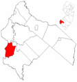
 Map of Salem County highlighting Pennsville Township.png 549 × 589; 11 KB
-
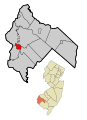
 Map of Salem County highlighting Quinton Township.png 549 × 589; 11 KB
-
-
-

-

-
-


