Category:Locator maps of neighborhoods in Haarlemmermeer
Jump to navigation
Jump to search
Media in category "Locator maps of neighborhoods in Haarlemmermeer"
The following 97 files are in this category, out of 97 total.
-

-

-
-

-

-

-

-

-

-
-

-

-

-

-

-

-

-

-

-

-

-

-
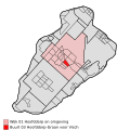
 Map - NL - Haarlemmermeer - Wijk 01 Hoofddorp en omgeving.svg 625 × 575; 17 KB
-

-
-

-

-

-

-

-

-

-

-
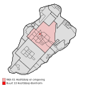
 Map - NL - Haarlemmermeer - Wijk 02 Nieuw-Vennep en omgeving.svg 625 × 575; 17 KB
-

-

-

-

-
-

-

-

-
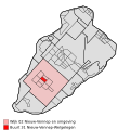
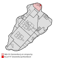
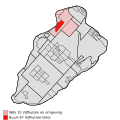
 Map - NL - Haarlemmermeer - Wijk 03 Zwanenburg en omgeving.svg 625 × 575; 17 KB
-

-

-
 Map - NL - Haarlemmermeer - Wijk 04 Lijnden en omgeving.svg 625 × 575; 17 KB
-
-

-

-

-

-

-

-

-

-

-

-

-
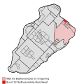
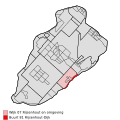
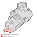
 Map - NL - Haarlemmermeer - Wijk 05 Badhoevedorp en omgeving.svg 625 × 575; 17 KB
-

-

-
-
-

-
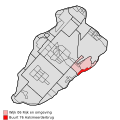
 Map - NL - Haarlemmermeer - Wijk 06 Rijk en omgeving.svg 625 × 575; 17 KB
-

-

-
-

-
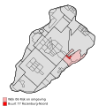
 Map - NL - Haarlemmermeer - Wijk 07 Rijsenhout en omgeving.svg 625 × 575; 17 KB
-

-

-

-
 Map - NL - Haarlemmermeer - Wijk 08 Burgerveen en Weteringbrug.svg 625 × 575; 17 KB
-

-

-

-
-
 Map - NL - Haarlemmermeer - Wijk 09 Abbenes en omgeving.svg 625 × 575; 17 KB
-

-
 Map - NL - Haarlemmermeer - Wijk 10 Lisserbroek.svg 625 × 575; 17 KB
-

-
 Map - NL - Haarlemmermeer - Wijk 11 Beinsdorp.svg 625 × 575; 17 KB
-

-

-
 Map - NL - Haarlemmermeer - Wijk 12 Zwaanshoek.svg 625 × 575; 17 KB
-

-
-
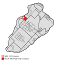
 Map - NL - Haarlemmermeer - Wijk 13 Cruquius.svg 625 × 575; 17 KB
-

-
 Map - NL - Haarlemmermeer - Wijk 14 Cruquiushoeve.svg 625 × 575; 17 KB
-
-

-

-

-

-
 Map - NL - Haarlemmermeer - Wijk 15 Vijfhuizen en omgeving.svg 625 × 575; 17 KB


