Category:Locator maps of neighborhoods in Denver
Jump to navigation
Jump to search
Media in category "Locator maps of neighborhoods in Denver"
The following 18 files are in this category, out of 18 total.
-
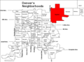
 Denver neighborhoods.gif 729 × 541; 13 KB
-
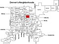
 Chaffee Park neighborhood in Denver, Colorado, USA.gif 729 × 541; 15 KB
-
 Cheesmanparkhighlight.png 730 × 557; 14 KB
-
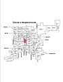
 City Park neighborhood in Denver.jpg 729 × 541; 183 KB
-
 CityParkWestMap.JPG 729 × 541; 71 KB
-
 Claytonneighborhoodmap.png 729 × 541; 14 KB
-
 Denver Neighborhoods Central Park.gif 729 × 541; 14 KB
-
 DenverSpeer.jpg 1,275 × 1,650; 131 KB
-
 Fivepointsmap1.gif 729 × 541; 15 KB
-
 Gldntrianglehlight.jpg 794 × 650; 195 KB
-
 Highlandmap1.gif 729 × 541; 15 KB
-
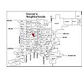
 Map of Denver showing Park Hill.gif 729 × 541; 16 KB
-
 Montbello neighborhood.gif 1,007 × 735; 16 KB
-
 Neighborhoods Map of City and County of Denver - DPLA - 801b633fa5d3d454b323c6607e871cdf.jpg 7,918 × 7,122; 4.72 MB
-
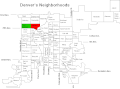
 Stapletonhlight-new.png 728 × 540; 12 KB
-
 Universityneigh.gif 729 × 541; 15 KB
-
 Villapark.gif 729 × 541; 15 KB
-
 West Higland, Denver map.JPG 729 × 541; 72 KB


