Category:Locator maps of municipalities of Rethymnon prefecture
Jump to navigation
Jump to search
Media in category "Locator maps of municipalities of Rethymnon prefecture"
The following 26 files are in this category, out of 26 total.
-
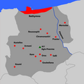
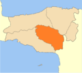 2010 Amari municipality.png 675 × 600; 51 KB
-
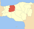
 2010 Anogeia municipality.png 675 × 600; 51 KB
-
 2010 Dimi Rethymnis numbered.svg 1,520 × 1,350; 43 KB
-
 2010 Dimos Agiou Vasiliou.svg 1,520 × 1,350; 35 KB
-
 2010 Dimos Amariou.svg 1,520 × 1,350; 35 KB
-
 2010 Dimos Anogion.svg 1,520 × 1,350; 35 KB
-
 2010 Dimos Mylopotamou.svg 1,520 × 1,350; 35 KB
-
 2010 Dimos Rethymnou.svg 1,520 × 1,350; 35 KB
-
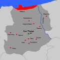
 2010 mylopotamos municipality.png 672 × 599; 45 KB
-
 Dimos Anogion.png 600 × 508; 37 KB
-
 Dimos Arkadiou.png 600 × 508; 37 KB
-
 Dimos Finikas.png 600 × 508; 37 KB
-
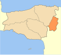
 Dimos Geropotamou.png 600 × 508; 37 KB
-
 Dimos Kouloukona.png 600 × 508; 37 KB
-
 Dimos Kouriton.png 600 × 508; 37 KB
-
 Dimos Lambis.png 600 × 508; 37 KB
-
 Dimos Lappeon.png 600 × 508; 37 KB
-
 Dimos Nikiforou Foka.png 600 × 508; 37 KB
-
 Dimos Rethymnou.png 600 × 508; 37 KB
-
 Dimos Sivritou.png 600 × 508; 37 KB
-
 Finikas villages greek.PNG 1,000 × 700; 71 KB
-
 Finikas.png 1,000 × 700; 89 KB
-
 Kinotita Zonianon.png 600 × 508; 37 KB
-
 RethDdD3.png 700 × 697; 48 KB
-
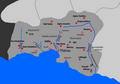
 Rethimno villages greek.PNG 700 × 697; 43 KB
-
 Rethymnon municipalities numbered.png 800 × 677; 61 KB


