Category:Locator maps of municipalities of Kavala prefecture
Jump to navigation
Jump to search
Media in category "Locator maps of municipalities of Kavala prefecture"
The following 20 files are in this category, out of 20 total.
-
 2010 Dimi Kavalas numbered.svg 1,478 × 1,161; 60 KB
-
 2010 Dimi Kavalas.svg 1,478 × 1,161; 57 KB
-
 2010 Dimos Kavalas.svg 1,478 × 1,161; 54 KB
-
 2010 Dimos Nestou.svg 1,478 × 1,161; 54 KB
-
 2010 Dimos Pangeou.svg 1,478 × 1,161; 54 KB
-
 2010 Dimos Thasou.svg 1,478 × 1,161; 54 KB
-
 2011 Dimi Kavalas.svg 1,478 × 1,161; 57 KB
-
 2011 Dimi Thasou numbered.svg 926 × 725; 62 KB
-
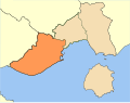
 Dimos Chrysopolis.png 600 × 456; 36 KB
-
 Dimos Eleftheron.png 600 × 456; 36 KB
-
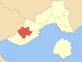
 Dimos Eleftheroupolis.png 600 × 456; 35 KB
-
 Dimos Filippon.png 600 × 456; 36 KB
-
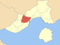
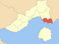
 Dimos Kavalas.png 600 × 456; 36 KB
-
 Dimos Keramotis.png 600 × 456; 35 KB
-
 Dimos Orfanou.png 600 × 456; 35 KB
-
 Dimos Orinou.png 600 × 456; 35 KB
-
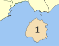
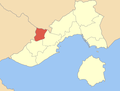 Dimos Pangeou.png 600 × 456; 35 KB
-
 Dimos Piereon.png 600 × 456; 35 KB
-
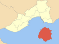 Dimos Thasou.png 600 × 456; 35 KB
-
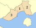
 Kavala municipalities numbered.png 800 × 608; 58 KB


