Category:Locator maps of municipalities of Arta prefecture (Kapodistrias Plan)
Jump to navigation
Jump to search
Media in category "Locator maps of municipalities of Arta prefecture (Kapodistrias Plan)"
The following 17 files are in this category, out of 17 total.
-
 Arta municipalities numbered.svg 621 × 632; 85 KB
-
 Dimos Agnandon.png 500 × 510; 44 KB
-
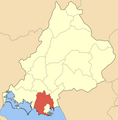
 Dimos Amvrakikou.png 500 × 510; 44 KB
-
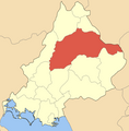
 Dimos Arachthou.png 500 × 510; 44 KB
-
 Dimos Arteon.png 500 × 510; 44 KB
-
 Dimos Athamanias.png 500 × 510; 45 KB
-
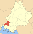 Dimos Filotheis Artas.png 500 × 510; 44 KB
-
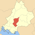
 Dimos Georgiou Karaiskaki.png 500 × 510; 45 KB
-
 Dimos Iraklias.png 500 × 510; 45 KB
-
 Dimos Kombotiou.png 500 × 510; 44 KB
-
 Dimos Peta.png 500 × 510; 45 KB
-
 Dimos Tetrafylias.png 500 × 510; 45 KB
-
 Dimos Vlachernas.png 500 × 510; 45 KB
-
 Dimos Xirovouniou.png 500 × 510; 44 KB
-
 Kinotita Kommenou.png 500 × 510; 44 KB
-
 Kinotita Melissourgon.png 500 × 510; 44 KB
-
 Kinotita Theodorianon.png 500 × 510; 44 KB


