Category:Locator maps of municipalities in Landkreis Northeim
Jump to navigation
Jump to search

Subcategories
This category has only the following subcategory.
Media in category "Locator maps of municipalities in Landkreis Northeim"
The following 13 files are in this category, out of 13 total.
-
 Bad Gandersheim in NOM.svg 950 × 858; 421 KB
-
 Bodenfelde in NOM.svg 950 × 858; 421 KB
-
 Dassel in NOM.svg 950 × 858; 421 KB
-
 Einbeck in NOM.svg 950 × 858; 421 KB
-
 Hardegsen in NOM.svg 950 × 858; 421 KB
-
 Kalefeld in NOM.svg 950 × 858; 421 KB
-
 Katlenburg-Lindau in NOM.svg 950 × 858; 421 KB
-
 Moringen in NOM.svg 950 × 858; 421 KB
-
 Municipalities in NOM.svg 950 × 858; 421 KB
-
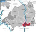
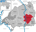 Northeim in NOM.svg 950 × 858; 421 KB
-
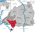
 Nörten-Hardenberg in NOM.svg 950 × 858; 421 KB
-
 Solling in NOM.svg 950 × 858; 421 KB
-
 Uslar in NOM.svg 950 × 858; 421 KB


