Category:Locator maps of former municipalities in the Kreis Nordfriesland
Jump to navigation
Jump to search
Media in category "Locator maps of former municipalities in the Kreis Nordfriesland"
The following 16 files are in this category, out of 16 total.
-
 Amt Amrum in NF.PNG 353 × 340; 7 KB
-
 Amt Boekingharde in NF.PNG 353 × 340; 7 KB
-
 Amt Bredstedt-Land in NF.PNG 353 × 340; 7 KB
-
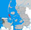
 Amt Foehr-Land in NF.PNG 353 × 340; 7 KB
-
 Amt Friedrichstadt in NF.PNG 353 × 340; 7 KB
-
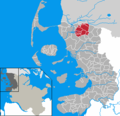
 Amt Hattstedt in NF.PNG 353 × 340; 7 KB
-
 Amt Karrharde in NF.PNG 353 × 340; 7 KB
-
 Amt Nordstrand in NF.PNG 353 × 340; 7 KB
-
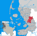
 Amt Stollberg in NF.PNG 353 × 340; 7 KB
-
 Amt Suederluegum in NF.PNG 353 × 340; 7 KB
-
 Amt Treene in NF.PNG 353 × 340; 7 KB
-
 Amt Wiedingharde in NF.PNG 353 × 340; 7 KB
-
 Rantum in NF.PNG 353 × 340; 7 KB
-
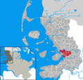
 Schobuell in NF.PNG 353 × 340; 7 KB
-
 Sylt-Ost in NF.PNG 353 × 340; 7 KB
-
 Westerland in NF.PNG 353 × 340; 7 KB


