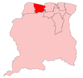
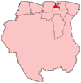
Category:Locator maps of districts of Suriname
Jump to navigation
Jump to search
Media in category "Locator maps of districts of Suriname"
The following 32 files are in this category, out of 32 total.
-
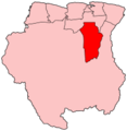
Suriname-Brokopondo.png 200 × 205; 4 KB
-
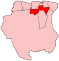
Suriname-Commewijne.png 200 × 205; 4 KB
-
Suriname-Coronie.png 200 × 205; 4 KB
-
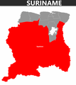
Map of Suriname - Brokopondo Highlight.png 2,310 × 2,593; 206 KB
-
Map of Suriname - Commewijne Highlight.png 2,310 × 2,593; 211 KB
-
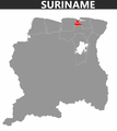
Map of Suriname - Coronie Highlight.png 2,310 × 2,593; 211 KB
-
Map of Suriname - Marowijne Highlight.png 2,310 × 2,593; 212 KB
-
Map of Suriname - Nickerie Highlight.png 2,310 × 2,593; 214 KB
-
Map of Suriname - Para Highlight.png 2,310 × 2,593; 210 KB
-
Map of Suriname - Paramaribo Highlight.png 2,310 × 2,593; 216 KB
-
Map of Suriname - Saramacca Highlight.png 2,310 × 2,593; 211 KB
-
Map of Suriname - Sipaliwini Highlight.png 2,310 × 2,593; 192 KB
-
Map of Suriname - Wanica Highlight.png 2,310 × 2,593; 212 KB
-
Suriname-Marowijne.png 200 × 205; 4 KB
-
Suriname-Nickerie.png 200 × 205; 4 KB
-
Suriname-Para.png 200 × 205; 4 KB
-
Suriname-Paramaribo.png 200 × 205; 4 KB
-
Suriname-Saramacca.png 200 × 205; 4 KB
-
Suriname-Sipaliwini.png 200 × 205; 4 KB
-
SR I (43).png 959 × 657; 49 KB
-
Suriname-Brokopondo.svg 595 × 558; 154 KB
-
Suriname-Commewijne.svg 595 × 558; 154 KB
-
Suriname-Coronie.svg 595 × 558; 154 KB
-
Suriname-Marowijne.svg 595 × 558; 154 KB
-
Suriname-Nickerie.svg 595 × 558; 154 KB
-
Suriname-Para.svg 595 × 558; 154 KB
-
Suriname-Paramaribo.svg 595 × 558; 154 KB
-
Suriname-Saramacca.svg 595 × 558; 154 KB
-
Suriname-Sipaliwini.svg 595 × 558; 154 KB
-
Suriname-Wanica.svg 595 × 558; 154 KB
-
Suriname-Wanica.png 200 × 205; 4 KB
