Category:Locator maps of districts of Rosenheim
Jump to navigation
Jump to search
Media in category "Locator maps of districts of Rosenheim"
The following 11 files are in this category, out of 11 total.
-
Karte Rosenheimer Stadtteil 1 Innenstadt.png 900 × 1,015; 201 KB
-
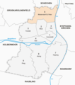
Karte Rosenheimer Stadtteil 2 West.png 900 × 1,015; 201 KB
-
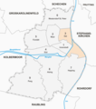
Karte Rosenheimer Stadtteil 3 Ost.png 900 × 1,015; 202 KB
-
Karte Rosenheimer Stadtteil 4 Süd.png 900 × 1,015; 201 KB
-
Karte Rosenheimer Stadtteil 5 Fürstätt.png 900 × 1,015; 201 KB
-
Karte Rosenheimer Stadtteil 6 Westerndorf St Peter.png 900 × 1,015; 202 KB
-
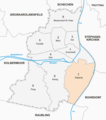
Karte Rosenheimer Stadtteil 7 Happing.png 900 × 1,015; 202 KB
-
Karte Rosenheimer Stadtteil 8 Aising.png 900 × 1,015; 202 KB
-
Karte Rosenheimer Stadtteil 9 Pang.png 900 × 1,015; 202 KB
-
Karte Stadtteile Rosenheim.png 900 × 1,015; 214 KB
-
Rosenheim Stadtteile s2.png 900 × 1,015; 194 KB


