Category:Locator maps of counties of Wilno Voivodeship
Jump to navigation
Jump to search
Media in category "Locator maps of counties of Wilno Voivodeship"
The following 11 files are in this category, out of 11 total.
-
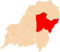
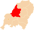
 POL powiat brasławski map.svg 750 × 653; 28 KB
-
 POL powiat duniłowicki map.svg 750 × 651; 20 KB
-
 POL powiat dziśnieński map.svg 750 × 653; 28 KB
-
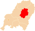
 POL powiat mołodeczański map.svg 750 × 653; 28 KB
-
 POL powiat oszmiański map.svg 750 × 653; 28 KB
-
 POL powiat postawski map.svg 750 × 653; 28 KB
-
 POL powiat trocki map.svg 750 × 651; 20 KB
-
 POL powiat wilejski map.svg 750 × 653; 28 KB
-
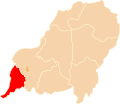
 POL powiat wileński map.svg 750 × 651; 20 KB
-
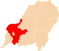
 POL powiat wileńsko-trocki map.svg 750 × 653; 28 KB
-
 POL powiat święciański map.svg 750 × 653; 28 KB


