
Category:Locator maps of counties of Northern Ireland
Subcategories
This category has only the following subcategory.
!
Media in category "Locator maps of counties of Northern Ireland"
The following 31 files are in this category, out of 31 total.
-
 An dúin.PNG 279 × 348; 45 KB
-
 AntrimShape.png 532 × 405; 11 KB
-
 Aontroma.PNG 279 × 348; 45 KB
-
 Ard mhacha.PNG 279 × 348; 45 KB
-
 ArmaghShape.png 532 × 405; 11 KB
-
 Cabhán 02.png 279 × 348; 45 KB
-
 Cabhán.PNG 279 × 348; 45 KB
-
 Contae Aonroma.png 233 × 295; 24 KB
-
 County Antrim copy.png 741 × 611; 87 KB
-
 County Armagh and County Tyrone.png 1,449 × 1,807; 322 KB
-
 County Armagh cropped example.png 352 × 253; 39 KB
-
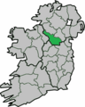
 County Armagh.png 741 × 611; 104 KB
-
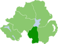
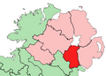
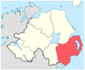 County Down.png 741 × 611; 105 KB
-
 County Fermanagh.png 741 × 611; 104 KB
-
 County Londonderry.png 741 × 611; 87 KB
-
 County Tyrone.png 741 × 611; 87 KB
-
 Doire.PNG 279 × 348; 45 KB
-
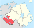
 Down Ulster.png 200 × 249; 28 KB
-
 DownShape.png 532 × 405; 11 KB
-
 Fear manach.PNG 279 × 348; 45 KB
-
 FermanaghShape.gif 532 × 405; 10 KB
-
 Ireland location Antrim.jpg 1,792 × 2,258; 611 KB
-
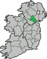
 Ireland location Armagh.jpg 1,792 × 2,258; 604 KB
-
 Ireland location Cavan.jpg 1,792 × 2,258; 603 KB
-
 Ireland location Derry.jpg 1,792 × 2,258; 606 KB
-
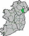
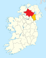
 Ireland location Down.jpg 1,792 × 2,258; 611 KB
-
 Ireland location Monaghan.jpg 1,792 × 2,258; 605 KB
-
 Ireland location Tyrone.jpg 1,792 × 2,258; 609 KB
-
 LondonderryShape.gif 532 × 405; 10 KB
-
 Muineacháin.PNG 279 × 348; 45 KB
-
 TyroneShape.gif 532 × 405; 10 KB


