Category:Locator maps of communities in Torfaen
Jump to navigation
Jump to search
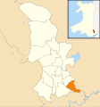
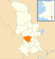
Media in category "Locator maps of communities in Torfaen"
The following 16 files are in this category, out of 16 total.
-
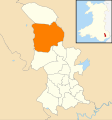
Wales Torfaen Community Abersychan map.svg 512 × 546; 321 KB
-
Wales Torfaen Community Blaenavon map.svg 512 × 546; 321 KB
-
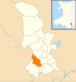
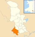
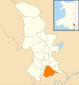
Wales Torfaen Community Croesyceiliog map.svg 512 × 546; 321 KB
-
Wales Torfaen Community Cwmbran Central map.svg 512 × 546; 321 KB
-
Wales Torfaen Community Fairwater map.svg 512 × 546; 321 KB
-
Wales Torfaen Community Henllys map.svg 512 × 546; 321 KB
-
Wales Torfaen Community Llantarnam map.svg 512 × 546; 321 KB
-
Wales Torfaen Community Llanyrafon map.svg 512 × 546; 321 KB
-
Wales Torfaen Community New Inn map.svg 512 × 546; 321 KB
-
Wales Torfaen Community Panteg map.svg 512 × 546; 321 KB
-
Wales Torfaen Community Pen Tranch map.svg 512 × 546; 321 KB
-
Wales Torfaen Community Ponthir map.svg 512 × 546; 321 KB
-
Wales Torfaen Community Pontnewydd map.svg 512 × 546; 321 KB
-
Wales Torfaen Community Pontymoile map.svg 512 × 546; 321 KB
-
Wales Torfaen Community Trevethin map.svg 512 × 546; 321 KB
-
Wales Torfaen Community Upper Cwmbran map.svg 512 × 546; 321 KB
